GeoCart 2008 has finished this week. It was second GeoCart I have attended. Even is smaller numbers than the last one it was a very good conference.
Organization
Firstly, the organization was very, very good. This is thank to great effort of Igor Drecki and other individuals that made great effort ensuring everything works flawlessly. I have not seen that anything went wrong or was out of schedule.
Programme Programme was very interesting. Every day there were two parallel streams. The streams were: Authors, co-authors and presenters came from quite a few countries. The map below shows what these countries are (after all this was cartographic conference). Presentation were interested and very well presented (in most cases). I have noticed something that kind of surprises me. There are highly educated experts and academics that are having hard time delivering the message to the audience. In some cases the visual presentation (slides) are making this even worse. On the other hand I've seen really crafted slides and exceptionally presented papers. Top three presentations (I didn't see all of them) were:
Map exhibition
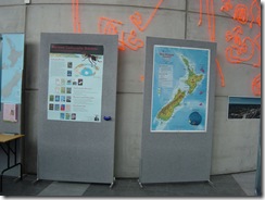
This time there were fewer maps and posters in the exhibition area but they were quite interesting. Exhibited posters were:
- Adding Value to the National Geospatial Data Holdings: Bundles of data and manifestations of maps
- Land Use Change for Cambridge and Surrounds, New Zealand: 1991-2006 – a raster comparison using the Map Comparison Kit
- Mapping the Future: An integrated, multi-scale, spatial decision support system to support long-term community planning
- Coordinated Visualization of Human Daily Activity Patterns with Ringmaps
For the end here are some photos from the conference.


No comments:
Post a Comment