This version add a number of new features with most intersting ones (from my perspective):
- IMS layer visibility
IMS sub-layers can now be accessed. You can choose from the available sub-layers
when connecting to the IMS service by checking the box for the desired layers.
Only the selected sub-layers will be included in the ArcGIS Explorer layer. The
visibility of IMS sub-layers is persisted when saving and reopening a map.
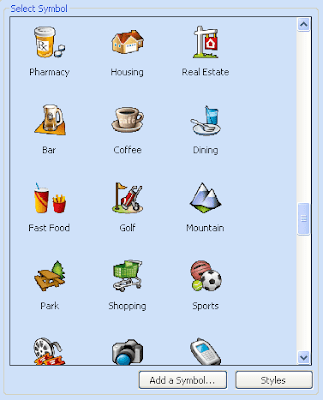
- User defined point symbols
Users may add their own point symbols by choosing from any .jpg, .png, or .bmp
file. The file will be automatically sized and stored in the user's style file
(My.ServerStyle), located by default at: C:\Documents and
Settings\\Application Data\ESRI\ArcGIS Explorer\Styles In
addition to local files, symbols may be fetched from a network or internet
location by specifying the appropriate network path or URL.

- New pop-up capabilities (pop-up window sizing, feature pop-ups, pop-ups using HTML)
With pop-ups you can control what fields will be displayed and modify then using standard HTML tags.
If you download AGX and after two minutes you say "Google Earth is way better!" then you should read this post by James Fee. It is from 2006 but describes essential diffrernces very well.
If you decide to use AGX have a look at Content page at Resource centre to download different maps, layers or tasks. And you can create mashups with AGX. Just have a look at Location Based Soup blog.

No comments:
Post a Comment